InSAR for Land Deformation Monitoring: Complete Guide and Applications
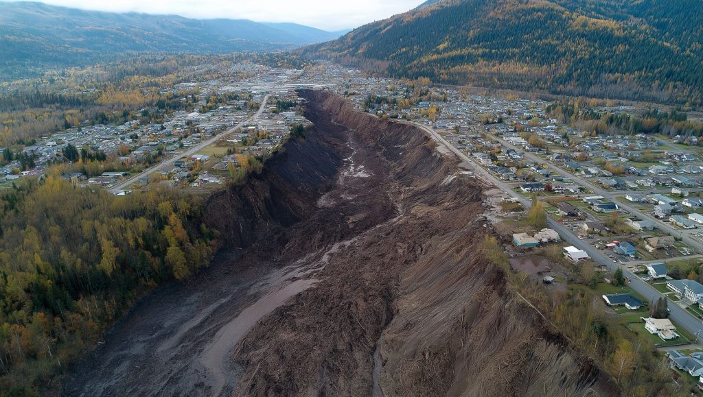
Interferometric Synthetic Aperture Radar (InSAR) is a powerful remote sensing technique used to measure ground deformation with high precision over large areas. By analyzing radar images of the Earth’s surface taken at different times, InSAR can detect minute changes in land elevation


